
Storm Wreck
Sailing Vessel · United Kingdom · Lost 1782 · Florida's Atlantic Coast
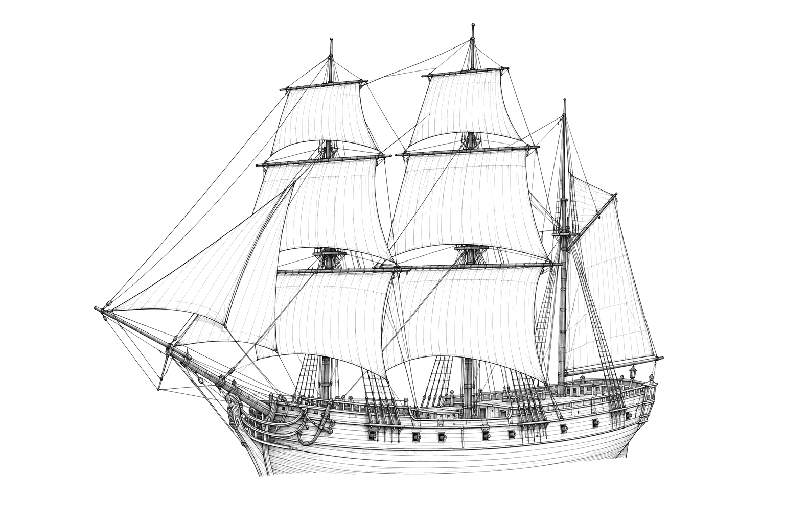
A Loyalist refugee ship lost in a storm off St. Augustine at the close of the Revolutionary War, one of sixteen ships in a fleeing evacuation fleet.
Become Captain of RecordSee Shipwreck on Map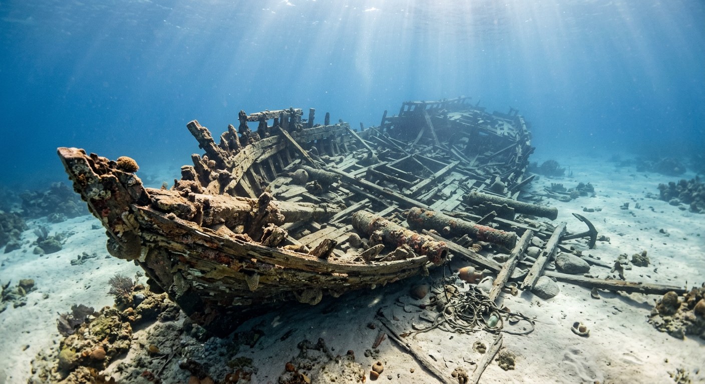
The Vessel and Her Loss
Vessel
- Not established
- Site number 8SJ5459
- Not established
- Not established
- Wood
- Not established
- Not established
- Not established
- Sail
- Not established
Loss
- December 31, 1782
- Storm
- About one mile offshore of St. Augustine, Florida
- Atlantic Ocean
- Charleston, South Carolina → St. Augustine, Florida
- Ordnance, firearms, ship's equipment, tools, and personal effects of evacuating Loyalist refugees and soldiers
- Not established
- Not established
- Not established
The Wreck Today
- Not established
- Buried hull remains and scattered artifacts on the seabed
- Not established
- 2009
- Not established
Position
- 29.89° N 81.31° W
- General area only
- St. Augustine, Florida
General area only: coordinate of St. Augustine, Florida from the USGS Geographic Names Information System, marking the named place of loss recorded for this vessel ("about one mile offshore of St. Augustine, Florida"), not a surveyed wreck position.
Evidence
Overall confidence: Partially documented (70/100)
The vessel's specific name, builder, and dimensions have not been established; identification rests on artifact and archival evidence associating the site with the 1782 evacuation fleet.
Lighthouse Archaeological Maritime Program / St. Augustine Lighthouse & Maritime Museum
Discovery, excavation history, and identification as part of the 1782 evacuation fleet.
USGS Geographic Names Information System — Saint Augustine, FL
coordinate of the named place of loss























































