
Bristol
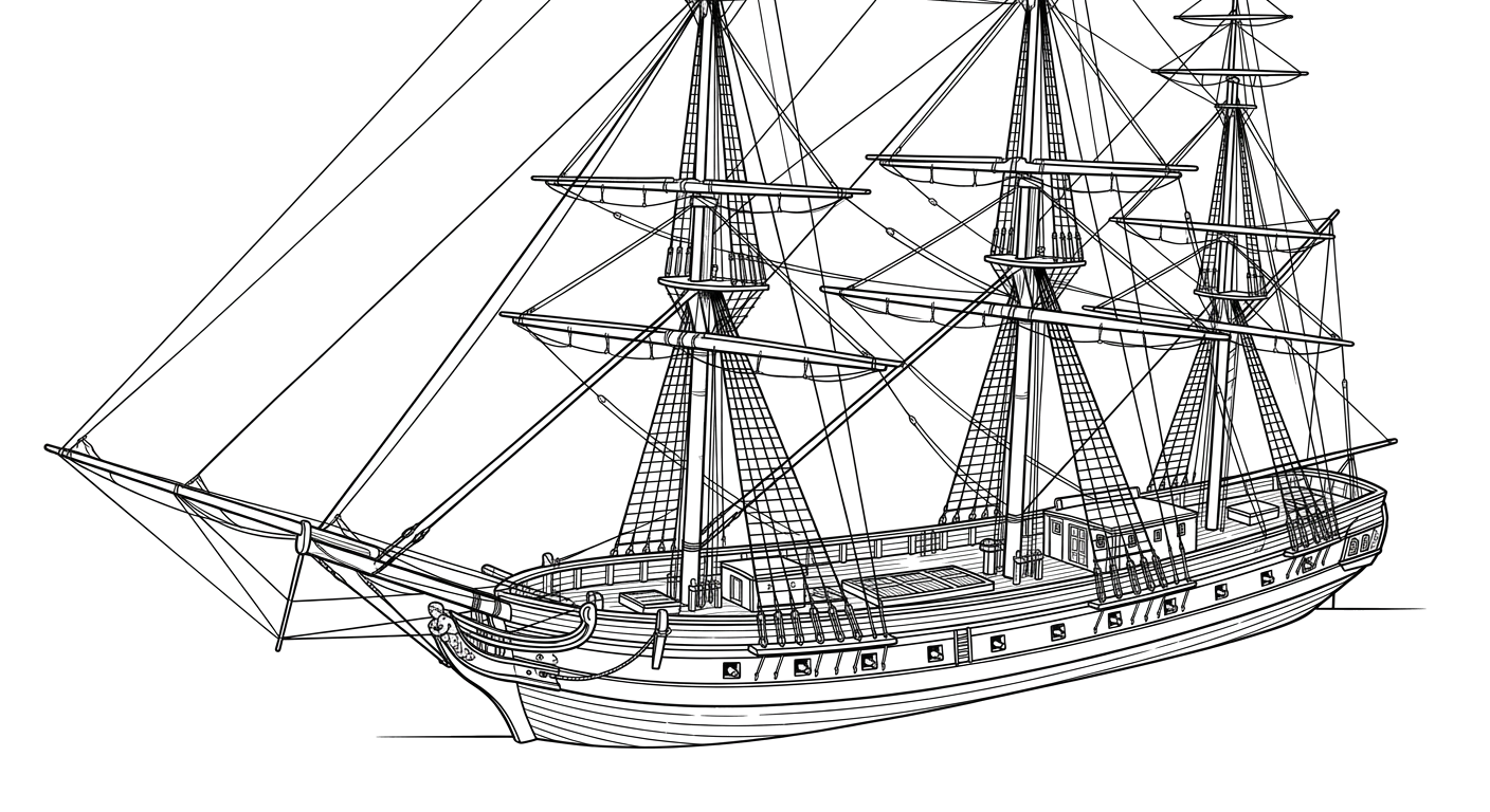
Packet Ship · United States · Lost 1836 · Long Island & the New York Approaches
An emigrant packet ship broken apart by surf off Far Rockaway in 1836, killing dozens of Irish and English passengers within sight of New York.
Become Captain of RecordSee Shipwreck on Map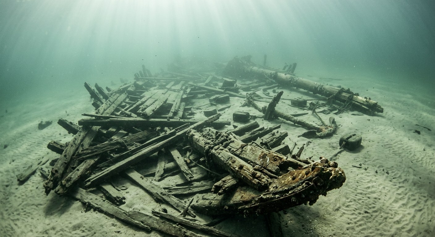
The Vessel and Her Loss
Vessel
- 1834
- Not established
- Not established
- Wood
- Not established
- Not established
- Not established
- Sail
- Not established
Loss
- November 21, 1836
- Storm
- Off Far Rockaway / Rockaway Beach, Long Island
- Atlantic Ocean
- Liverpool, England → New York
- Coal, railroad iron, crockery, dry goods, and emigrant passengers
- Not established
- 60
- Alexander McKown
The Wreck Today
- Not established
- Broken up in the surf; no coherent hull survives
- Not established
- Not established
- Not established
Position
- 40.61° N 73.76° W
- General area only
- Far Rockaway, Long Island, New York
General area only: coordinate of Far Rockaway from the USGS Geographic Names Information System, marking the named place of loss recorded for this vessel, not a surveyed wreck position.
Evidence
Overall confidence: Documented (78/100)
The exact death toll is reported inconsistently across sources, ranging from about sixty to seventy, and no precise wreck position is established.
Wikipedia: Wreck of the Bristol
Date, location, casualty range, captain's name.
New York State Department of State, Division of Coastal Resources historic marker text
Voyage origin, cargo, casualty counts, community response.
Corroboration of loss date and location.
USGS Geographic Names Information System (via TopoZone) — Far Rockaway
coordinate of the named place of loss (off Far Rockaway)























































