
John Milton
Ship · United States · Lost 1858 · Long Island & the New York Approaches
A guano-laden cargo ship driven ashore at Ditch Plains near Montauk during a blinding 1858 snowstorm, killing all 32 or 33 aboard.
Become Captain of RecordSee Shipwreck on Map
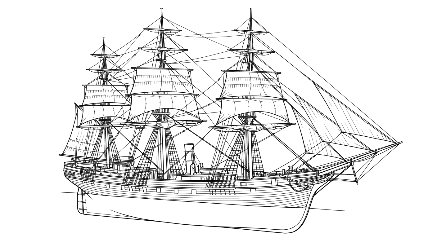
The Vessel and Her Loss
Vessel
- 1854
- Reuben Fish
- Fairhaven, Massachusetts
- Wood
- 203 ft
- Not established
- 1444
- Sail
- Edward Mott Robinson
Loss
- February 20, 1858
- Navigational error
- About 5 nautical miles west of Montauk Point, near Ditch Plains
- Atlantic Ocean
- Norfolk, Virginia (returning from a voyage to the Chincha Islands, Peru) → New York
- Guano fertilizer
- 33
- 32
- Captain Ephraim Harding
The Wreck Today
- Not established
- Split apart and scattered by the surf
- Not established
- Not established
- Not established
Position
- 41.03° N 71.91° W
- Approximate position
- Ditch Plains, Montauk, New York
Wikipedia, Dan's Papers, and the Montauk Library describe the John Milton as wrecking at what is known today as Ditch Plains in Montauk, about 5 nautical miles west of Montauk Point Lighthouse; the coordinate approximates the Ditch Plains shoreline location named in these sources, not a surveyed wreck fix.
Evidence
Overall confidence: Documented (80/100)
The precise number lost (32 or 33) is reported inconsistently across sources.
Build details, voyage, wreck date and location, casualty figures.
usdeadlyevents.com, sourced compilation of period newspaper and historical accounts
Cross-referenced casualty figures from multiple period sources.
27east.com, Express Magazine: The Lost Light at Shinnecock
Context on the Shinnecock Lighthouse's role in the navigation error.
Wikipedia, 'John Milton (ship)'
wreck position
Dan's Papers, 'Our Amazing History: The Wreck of the John Milton'
wreck position























































