
HMS Lark
Frigate · Great Britain · Lost 1778 · Narragansett Bay & the Rhode Island Coast
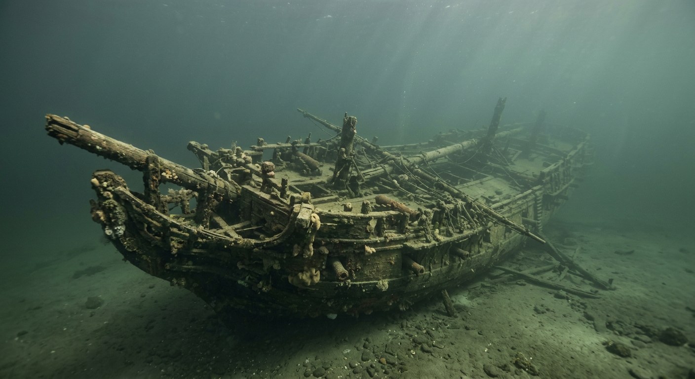
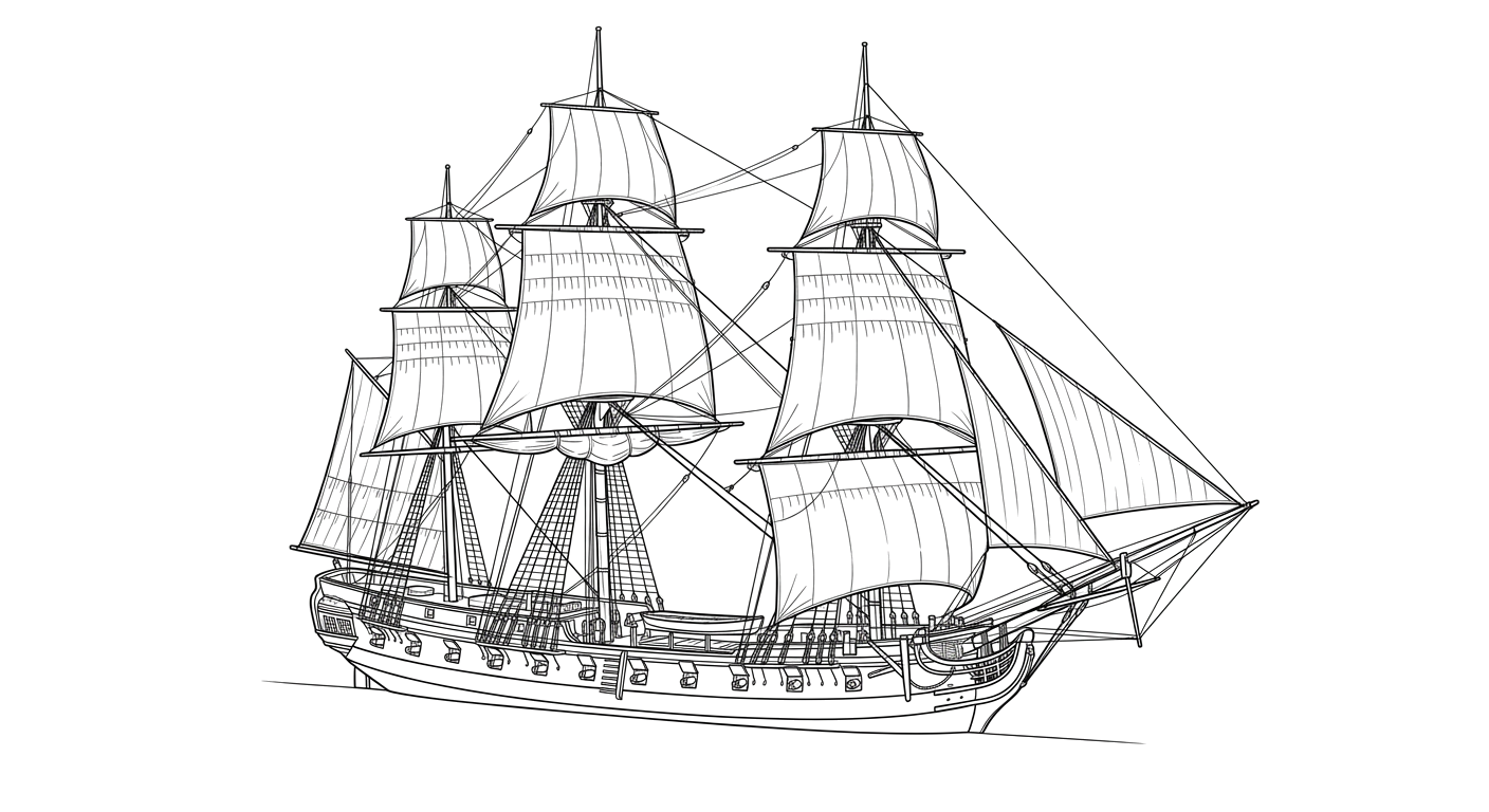
A 32-gun British frigate blown apart by her own exploding magazine after being set afire to escape a French fleet in Narragansett Bay in 1778.
The Vessel and Her Loss
Vessel
- 1762
- Elias Bird, Rotherhithe
- Rotherhithe, England
- Wood
- 127 ft
- 34 ft
- Not established
- Sail, full-rigged ship
- Royal Navy
Loss
- August 5, 1778
- Intentional sinking
- South side of Arnold's Point, Portsmouth, Rhode Island, Narragansett Bay
- Narragansett Bay
- Not established
- Not established
- Not established
- Not established
- White
The Wreck Today
- Not established
- Site listed on the National Register of Historic Places jointly with HMS Cerberus.
- Not established
- 1970s
- Listed on the National Register of Historic Places as part of the Wreck Sites of HMS Cerberus and HMS Lark (1973)
Position
- 41.58° N 71.31° W
- Approximate position
- Portsmouth, Rhode Island (Aquidneck Island)
Coordinate is the NRHP-listed location for the joint Cerberus/Lark wreck site; not a precise position for Lark alone.
Evidence
Overall confidence: Documented (78/100)
Depth and present condition of the wreck are not established in the sources reviewed.
NOAA Ocean Explorer (AUVfest 2008)
Vessel history, loss circumstances, rediscovery.
National Register of Historic Places listing: Wreck Sites of HMS Cerberus and HMS Lark
Loss date, location, NRHP status.
Wikipedia, citing Royal Navy service records (used as general secondary confirmation)
Build details, dimensions, crew complement.























































