
Gledstanes
Whaling Ship · United Kingdom · Lost 1837 · The Hawaiian Islands
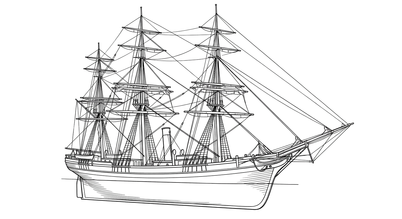
A British whaler that ran aground on Kure Atoll's reef in 1837, its anchors and trypot rediscovered by NOAA divers in 2008.
Become Captain of RecordSee Shipwreck on Map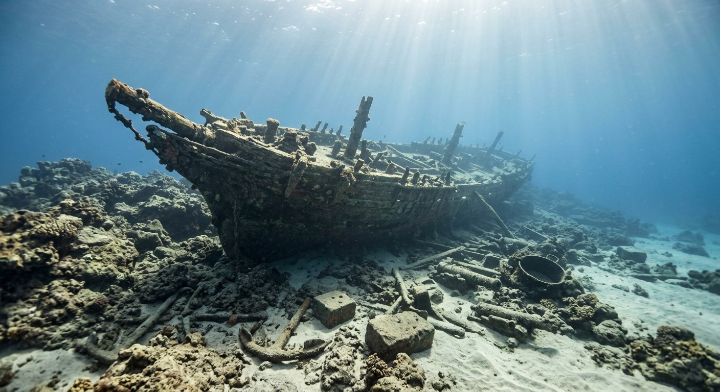
The Vessel and Her Loss
Vessel
- 1827
- Not established
- Leith, Scotland
- Wood
- Not established
- Not established
- 428
- Sail
- Not established
Loss
- June 9, 1837
- Grounding
- Eastern reef, Kure Atoll, Northwestern Hawaiian Islands
- North Pacific Ocean
- Not established
- Not established
- Not established
- Not established
- John R. Browne
The Wreck Today
- Not established
- Anchors, iron ballast, cannon, and a trypot located on the reef.
- Not established
- 2008
- Within Papahānaumokuākea Marine National Monument
Position
- 28.39° N 178.29° W
- General area only
- Kure Atoll
General area only: coordinate of Kure Atoll from the USGS Geographic Names Information System, marking the named place of loss recorded for this vessel (eastern reef, Kure Atoll), not a surveyed wreck position.
Evidence
Overall confidence: Documented (80/100)
Precise hull dimensions and full voyage history beyond the loss are not established in the sources reviewed.
NOAA National Marine Sanctuaries
Discovery, loss date, location, survivor account.
NOAA Papahānaumokuākea Marine National Monument
Vessel history and loss narrative.
USGS Geographic Names Information System — Kure Atoll (via GNIS-sourced gazetteer, geo.mytopo.com)
coordinate of the named place of loss























































