
Celia
Steam Schooner · United States · Lost 1906 · San Francisco & the Northern California Coast
A lumber-laden steam schooner run aground near Point Joe in 1906 after her captain mistook the foggy coastline for Monterey harbor.
Become Captain of RecordSee Shipwreck on Map
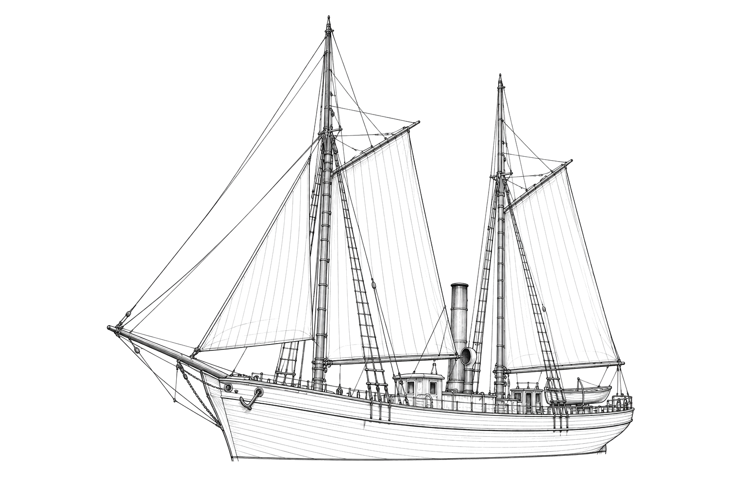
The Vessel and Her Loss
Vessel
- 1884
- Official number 126224
- Matthew Turner
- Benicia, California
- Wood
- 118 ft
- 29 ft
- 173
- Steam schooner
- Swayne & Hoyt
Loss
- August 28, 1906
- Navigational error
- Point Joe, Del Monte Forest, Monterey County, California
- Pacific Ocean
- Santa Cruz, California → Monterey, California
- 160,000 feet of lumber
- Not established
- 0
- Captain Newman
The Wreck Today
- Not established
- Not established
- Not established
- Not established
- Documented by Monterey Bay National Marine Sanctuary maritime heritage program
Position
- 36.61° N 121.96° W
- General area only
- Point Joe, Pebble Beach, California
General area only: coordinate of Point Joe from the USGS Geographic Names Information System, marking the named place of loss recorded for this vessel, not a surveyed wreck position.
Evidence
Overall confidence: Partially documented (65/100)
Present condition and depth of the wreck site are not established in the sources reviewed.
Monterey Bay National Marine Sanctuary, NOAA
Vessel statistics, loss narrative, cause, and outcome.
USGS Geographic Names Information System — Point Joe (via GNIS-sourced gazetteer, geo.mytopo.com)
coordinate of the named place of loss























































