
USS Shark
Naval Schooner · United States · Lost 1846 · The Columbia River Bar & Oregon Coast
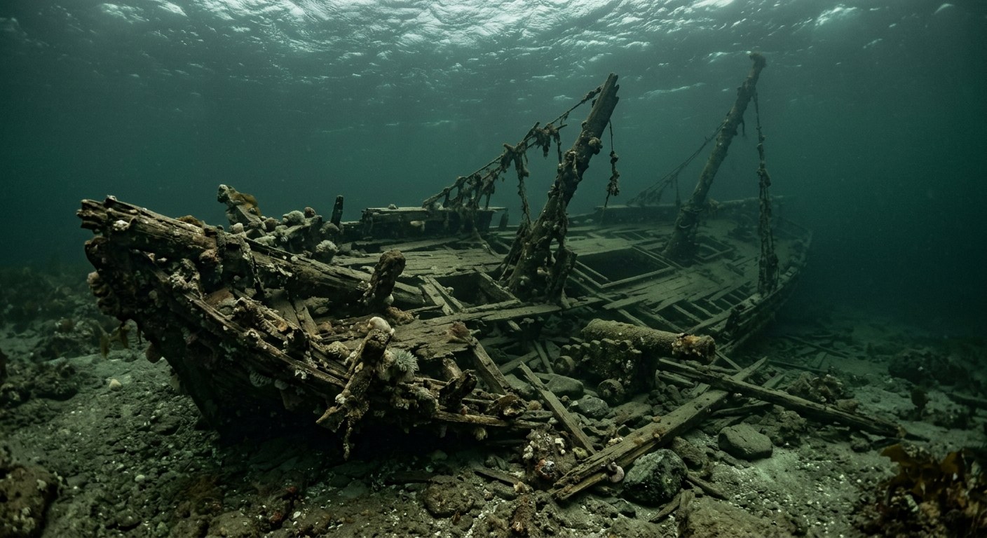
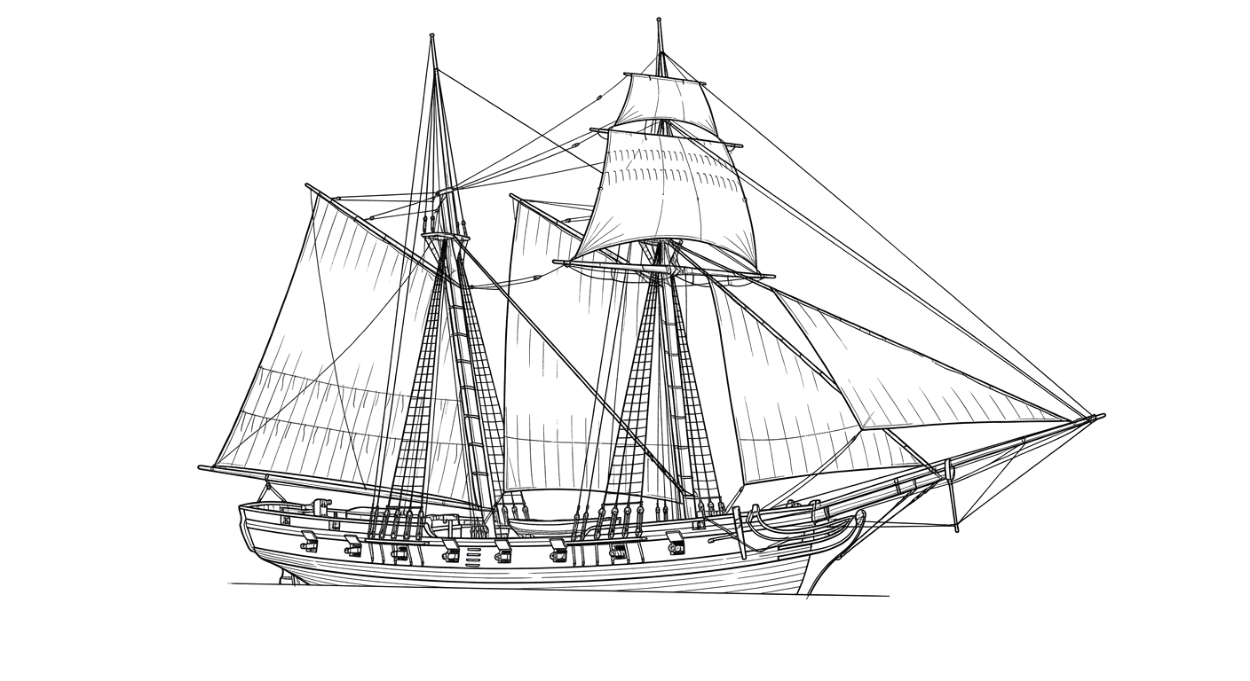
A U.S. Navy schooner surveying the Oregon Territory wrecked on the Columbia River bar in 1846 without loss of life.
The Vessel and Her Loss
Vessel
- 1821
- Washington Navy Yard
- Washington, D.C.
- Wood
- 86 ft
- 24.6 ft
- 198
- Sail
- United States Navy
Loss
- September 10, 1846
- Grounding
- Clatsop Spit, mouth of the Columbia River, Oregon
- Columbia River bar
- Columbia River (Fort Vancouver area) → Pacific Ocean, en route to California
- Not established
- Not established
- 0
- Lieutenant Neil M. Howison
The Wreck Today
- Not established
- Broke apart on the bar; some timbers reportedly recovered and used locally afterward.
- Not established
- Not established
- Not established
Position
- 46.23° N 124.03° W
- Approximate position
- Mouth of the Columbia River, Oregon
USS Shark wrecked while crossing the Columbia River bar on Clatsop Spit on Sept 10, 1846, per NPS Fort Vancouver historical records; coordinates given are the general charted position of Clatsop Spit, as no separate precise wreck-site fix was found.
Evidence
Overall confidence: Documented (85/100)
The wreck's precise position on the shifting bar was not established in the sources reviewed.
National Park Service, Fort Vancouver National Historic Site
Voyage purpose, wrecking narrative, and crew survival.
Naval History and Heritage Command
Build details and vessel specifications.
National Park Service, Fort Vancouver - Backstory for Campfires and Candlelight
loss location























































