
Hattie C. Besse
Sailing Bark (or Barque) · United States · Lost 1871 · The Salish Sea
A Civil War Union gunboat that ended its days as a merchant sailing bark, wrecking on the Washington coast south of Cape Flattery in 1871.
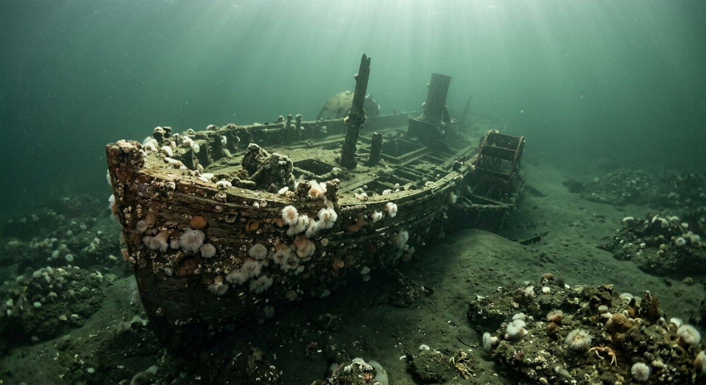
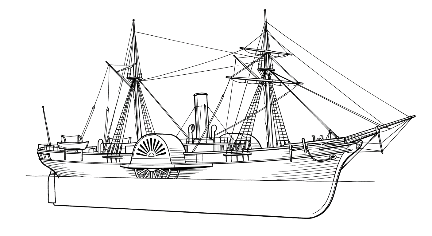
The Vessel and Her Loss
Vessel
- 1862
- US Official Number 11851
- Boston Navy Yard
- Boston, Massachusetts
- Wood
- 209 ft
- 34.9 ft
- 803
- Sail (converted from steam side-wheel propulsion)
- Purvis and Son (after 1867 conversion)
Loss
- November 20, 1871
- Grounding
- About 20 miles south of Cape Flattery, Washington
- Pacific Ocean, near the Strait of Juan de Fuca
- Not established
- Not established
- Not established
- Not established
- Not established
The Wreck Today
- Not established
- Not established
- Not established
- Not established
- Not established
Position
- 48.38° N 124.71° W
- General area only
- Cape Flattery, Washington
General area only: coordinate of Cape Flattery from the USGS Geographic Names Information System, the named landmark used to describe this vessel's loss position ('about 20 miles south of Cape Flattery'); the actual loss site is offset from the cape itself and this pin marks only the referenced named place, not a surveyed wreck position.
Evidence
Overall confidence: Partially documented (65/100)
Precise wreck location, casualties if any, and present condition are not established in the sources reviewed.
Naval History and Heritage Command
Naval service history and eventual sale.
Renaming to Hattie C. Besse and stranding date/location.
USGS-sourced feature coordinate — Cape Flattery, Clallam County, Washington
coordinate of the named reference place (Cape Flattery)























































