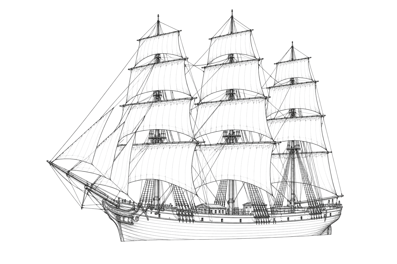
Turkish Empire
Full-Rigged Ship · Lost 1879 · The Bay of Fundy
Outbound from Saint John with timber, the composite ship Turkish Empire broke up on Great Duck Island off Grand Manan in a March gale in 1879.
Become Captain of RecordSee Shipwreck on Map
The Vessel and Her Loss
Vessel
- 1856
- Not established
- West Hartlepool, England
- Composite
- 229 ft
- 37 ft
- 1,600 tons
- Sail, three masts
- Stewart Brothers, London
Loss
- March 7, 1879
- Storm
- East shore of Great Duck Island, Grand Manan
- Bay of Fundy
- Saint John, New Brunswick → Dublin, Ireland
- Timber
- Not established
- 7
- Not established
The Wreck Today
- Not established
- Thought to be completely gone.
- Not established
- Not established
- Not established
Position
- 44.69° N 66.70° W
- General area only
- Great Duck Island, Grand Manan, New Brunswick
General area only: pin marks Great Duck Island, Grand Manan, Grand Manan Parish, the named place in this vessel's loss record, from the OpenStreetMap gazetteer. It is not a surveyed wreck position.
Evidence
Overall confidence: Partially documented (64/100)
No wreck position is established, and little or nothing is thought to remain.
Wreckhunter.net — Turkish Empire shipwreck data page
Former name, build, owner, dimensions, loss date, site, cargo and toll.
The New York Times, 11 March 1879 (report reproduced on Wreckhunter.net)
Contemporary article on the wreck.
OpenStreetMap gazetteer — Great Duck Island, Grand Manan, Grand Manan Parish
coordinate of the named place of loss