
Storm King
Freighter · United States · Lost Sunk by the mid-1930s · Hudson River
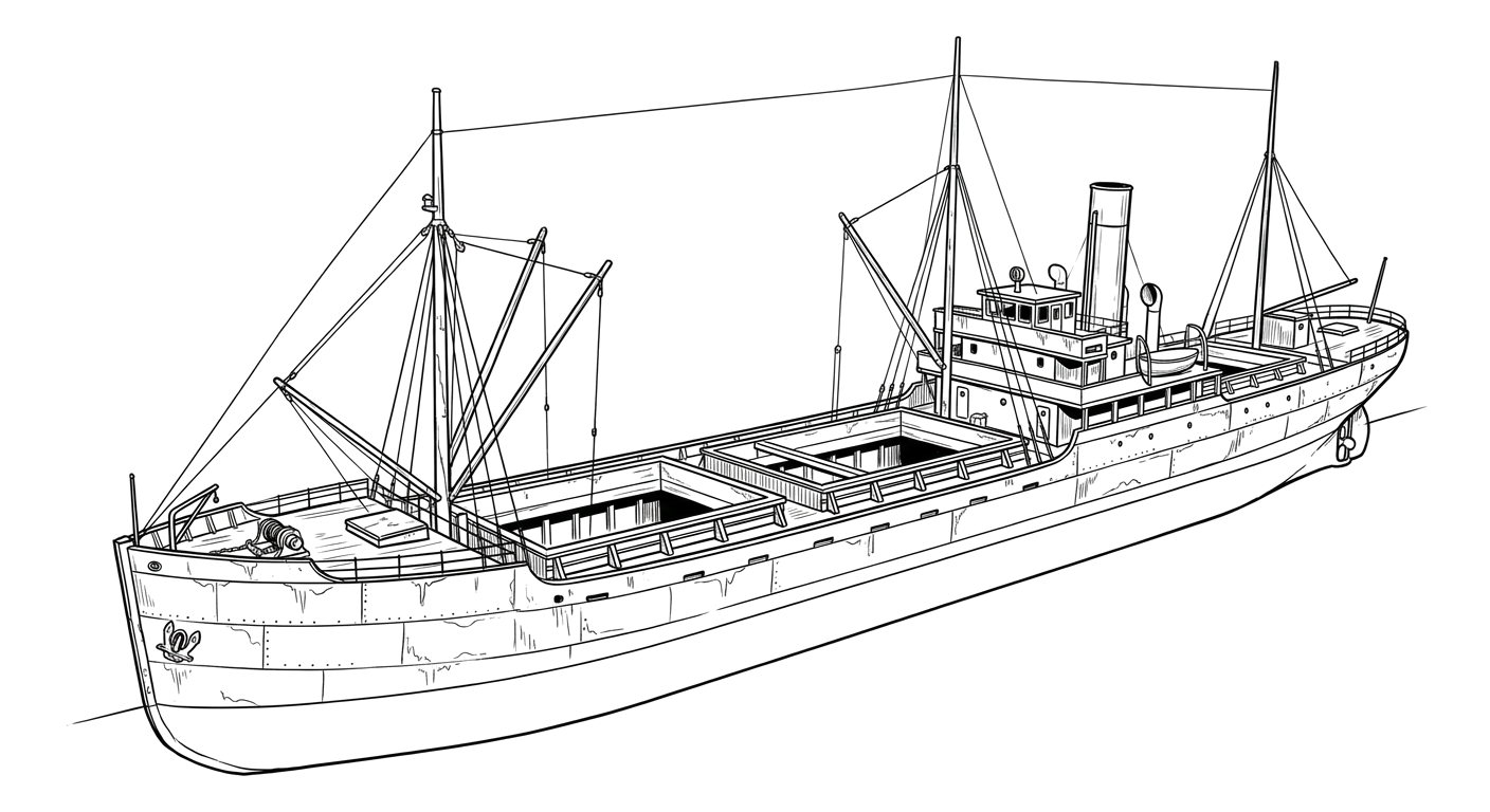
The sunken remains of a freighter at Coxsackie that have shielded a stretch of Hudson riverbank from erosion since the 1930s.
Become Captain of RecordSee Shipwreck on Map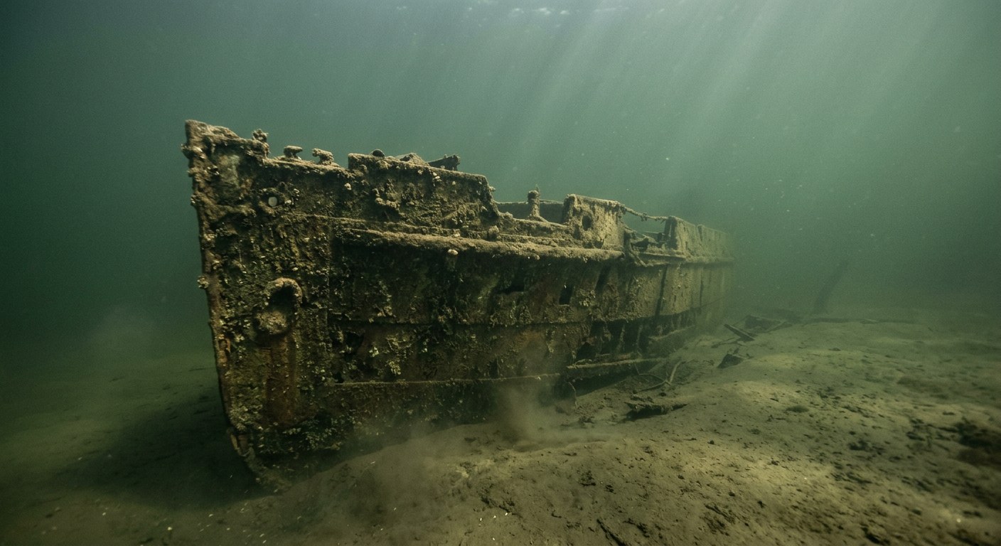
The Vessel and Her Loss
Vessel
- Not established
- Not established
- Not established
- Not established
- Not established
- Not established
- Not established
- Not established
- Not established
Loss
- Sunk by the mid-1930s
- Not established
- North shore of Riverside Park, Coxsackie, New York, Hudson River
- Hudson River
- Not established
- Not established
- Not established
- Not established
- Not established
The Wreck Today
- Not established
- Remains have functioned as an erosion barrier along the riverbank since the mid-1930s
- Not established
- Not established
- Not established
Position
- 42.40° N 73.81° W
- Approximate position
- Coxsackie, New York
An HMdb.org historical marker at the Coxsackie State Boat Launch and a Daily Gazette article describe the wreck of the freighter Storm King as lying along the north shore of Riverside Park in Coxsackie, NY since the mid-1930s, acting as an erosion barrier; the coordinate is an approximate placement at that shoreline, not a surveyed fix.
Evidence
Overall confidence: Sparsely documented (25/100)
This vessel's build history, dimensions, and cause and exact date of loss are not established in sources reviewed; only a single regional newspaper feature describing the wreck's role in riverbank erosion was located.
Daily Gazette (Schenectady, NY)
Wreck location, approximate date at site, role in erosion control
HMdb.org historical marker, 'An Ancient Highway,' Coxsackie State Boat Launch
wreck position
Daily Gazette, 'Ship's remnants point to clues about river's future'
wreck position























































