
New York
Steam Packet · United States · Lost 1846 · Texas & the Western Gulf
A Morgan Line steam packet lost with seventeen aboard in an 1846 Gulf hurricane while chartered to supply U.S. troops at Brazos Santiago.
Become Captain of RecordSee Shipwreck on Map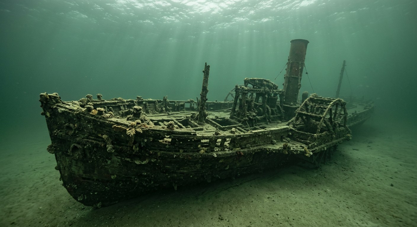
The Vessel and Her Loss
Vessel
- 1837
- Not established
- Not established
- Wood
- 160.5 ft
- 22.5 ft
- 365
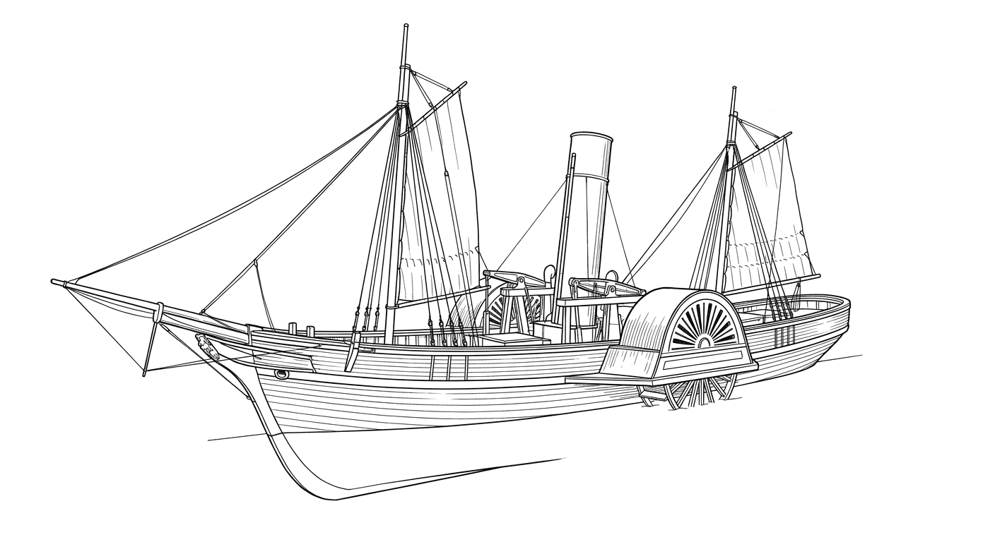
- Steam, side-wheel
- Charles Morgan (Morgan Line)
Loss
- September 7, 1846
- Storm
- Near Brazos Santiago, Texas coast
- Gulf of Mexico
- New Orleans, Louisiana → Brazos Santiago, Texas
- Military supplies and personnel
- Not established
- 17
- Not established
The Wreck Today
- Not established
- Hull remains documented by federal marine archaeologists
- Not established
- 1970s (located by an oilfield worker and amateur diver)
- Not established
Position
- 26.07° N 97.16° W
- General area only
- Brazos Santiago, Texas
General area only: coordinate of Brazos Santiago, the named place recorded as the loss location for this vessel, from the USGS Geographic Names Information System, not a surveyed wreck position.
Evidence
Overall confidence: Partially documented (72/100)
The precise wreck position and current condition of the hull are not established in the sources reviewed.
Bureau of Ocean Energy Management (BOEM), 19th Century Steamships
Build details, service history, loss date, casualties, wreck discovery.
International Journal of Nautical Archaeology, 'The New York and the Josephine: two steamships of the Charles Morgan line'
Comparative technical and historical documentation of the wreck.
USGS Geographic Names Information System — Brazos Santiago Pass
coordinate of the named place of loss























































