
SS Empire Gem
Tanker · United Kingdom · Lost 1942 · The Outer Banks
A British tanker torpedoed off Cape Hatteras in January 1942, killing 49 of her 51 crew in one of the war's early Atlantic losses.
Amy L. Tudor
See Shipwreck on Map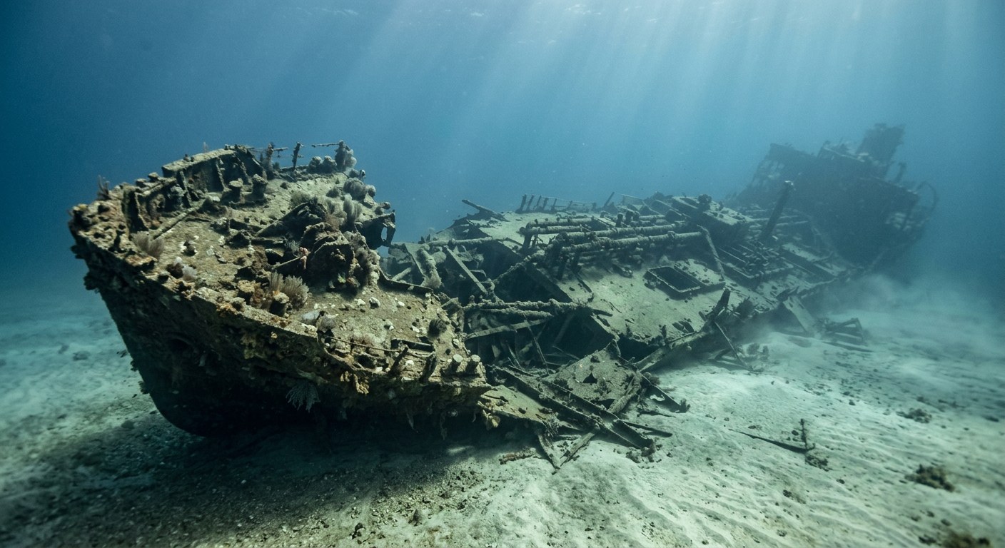
The Vessel and Her Loss
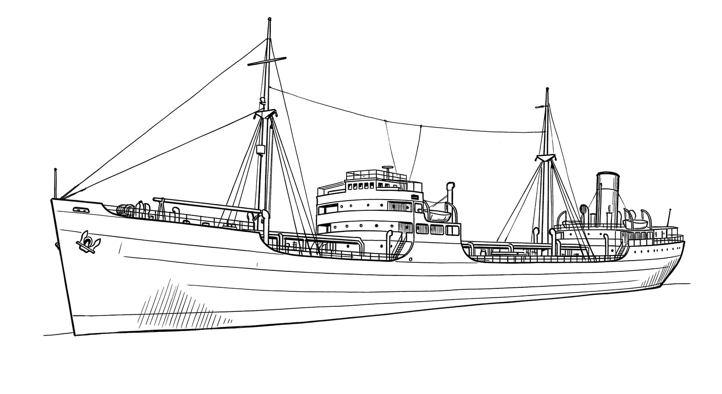
Empire Gem was a new British motor tanker, completed in late 1941, carrying gasoline and machinery from Texas toward Britain via Halifax. On January 24, 1942, sailing unescorted, she was torpedoed by the German submarine U-66 off Cape Hatteras and caught fire immediately. The tanker broke in two and sank quickly, and only the master and radio operator survived of the 51 aboard. Her wreck, now listed on the National Register of Historic Places, rests broken and largely inverted in 160 feet of water.
Vessel
- 1941
- Official number 168691; signal letters BCNV
- Harland and Wolff
- Glasgow, Scotland
- Steel
- 463.2 ft
- 61.2 ft
- 8139
- Diesel, single screw
- British Tanker Company, for the Ministry of War Transport
Loss
- January 24, 1942
- Enemy action
- Approximately 12 miles south of Cape Hatteras, North Carolina
- Atlantic Ocean
- Port Arthur, Texas → United Kingdom, via Halifax
- Approximately 10,000 tons of motor spirit and machinery
- 51
- 49
- Francis Reginald Broad
The Wreck Today
- 160 ft
- Broken in two, largely inverted, with 30 feet of vertical relief
- Not established
- Not established
- Listed on the National Register of Historic Places; within Monitor National Marine Sanctuary's documented wreck area
Position
- 35.030° N 75.477° W
- Surveyed position
- Cape Hatteras, North Carolina
Position published by NOAA's Monitor National Marine Sanctuary multibeam survey.
Evidence
Overall confidence: Well documented (92/100)
NOAA Monitor National Marine Sanctuary
Vessel specifications, wreck location, depth, and condition.
Attack details, casualty figures, and survivor account.























































