
Providence Island Canal Sloop
Canal Boat · United States · Lost Date of loss unknown · Lake Champlain
A single-masted, coal-laden canal sloop that sank with her rigging still set, opened to divers in 2023 as one of Lake Champlain's newest historic preserves.
Become Captain of RecordSee Shipwreck on Map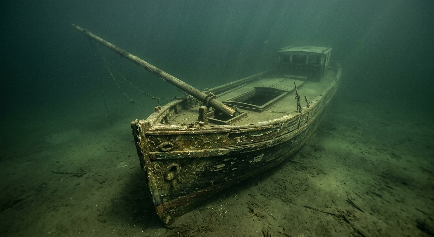
The Vessel and Her Loss
Vessel
- Not established
- Wreck F
- Not established
- Not established
- Wood
- 86 ft
- 14 ft
- Not established
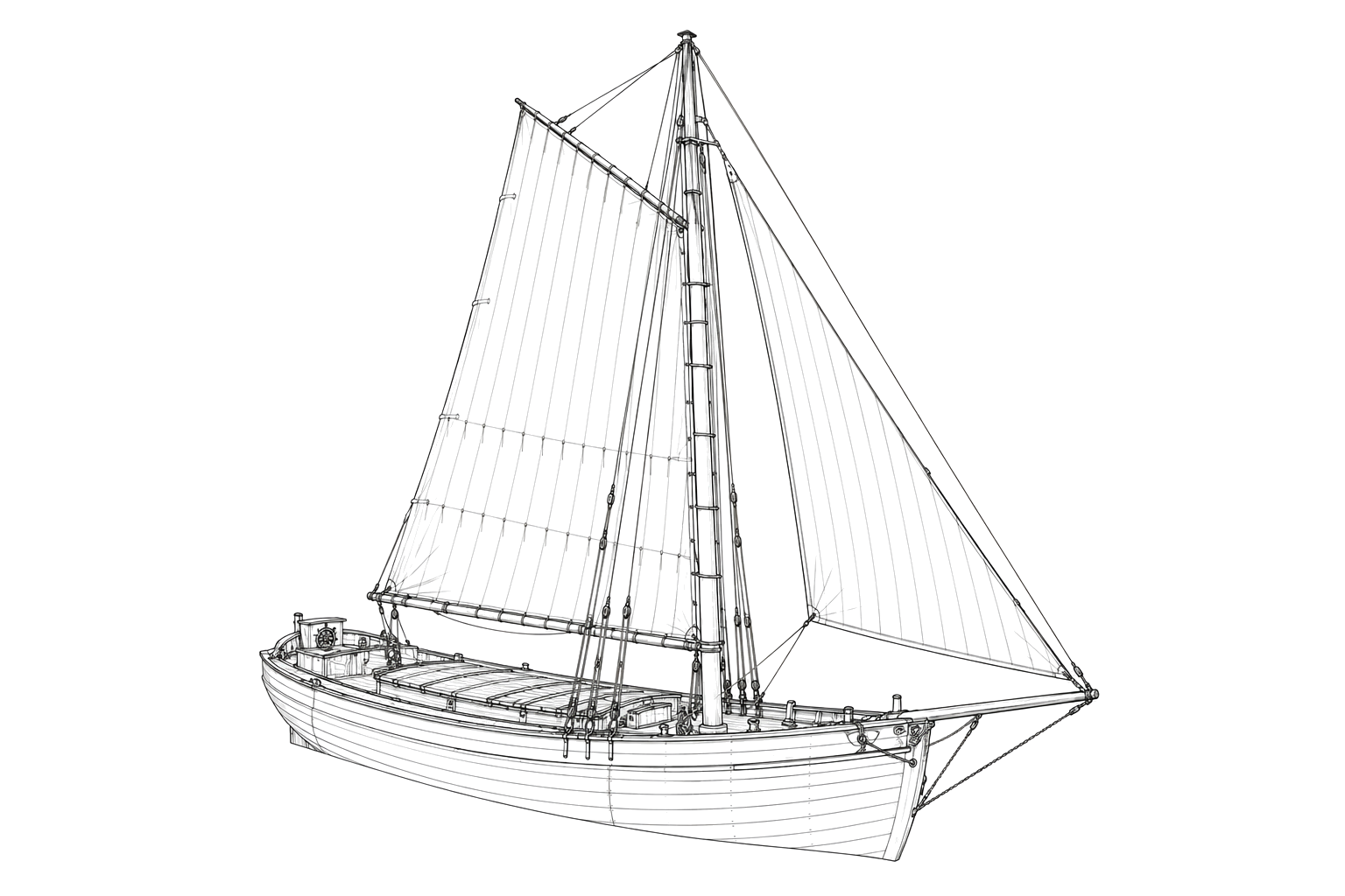
- Sail, single mast
- Not established
Loss
- Date of loss unknown
- Not established
- Off Providence Island, Lake Champlain
- Lake Champlain
- Not established
- Coal
- Not established
- Not established
- Not established
The Wreck Today
- 85+
- Virtually intact single-masted hull; mast fallen to port with its heel still by the tabernacle; stern cabin intact with roof; original hull paint still visible.
- Not established
- Not established
- Vermont Underwater Historic Preserve (Lake Champlain)
Position
- 44.61° N 73.35° W
- General area only
- Providence Island, Lake Champlain
General area only: coordinate of Providence Island from USGS topographic data (GNIS feature, Island class), marking the named place of loss recorded for this vessel, not a surveyed wreck position.
Evidence
Overall confidence: Partially documented (55/100)
The vessel's name, year built, and the date and cause of her sinking are not established in the sources reviewed.
Lake Champlain Maritime Museum
Dimensions, condition, cargo, dive depth.
Addition to the preserve system in 2023.
USGS Geographic Names Information System — Providence Island, VT (via YellowMaps USGS topo data)
coordinate of the named place of loss























































