
Pot Ash Point Canal Boat
Canal Boat · United States · Lost Date and cause of sinking unknown · Lake Champlain
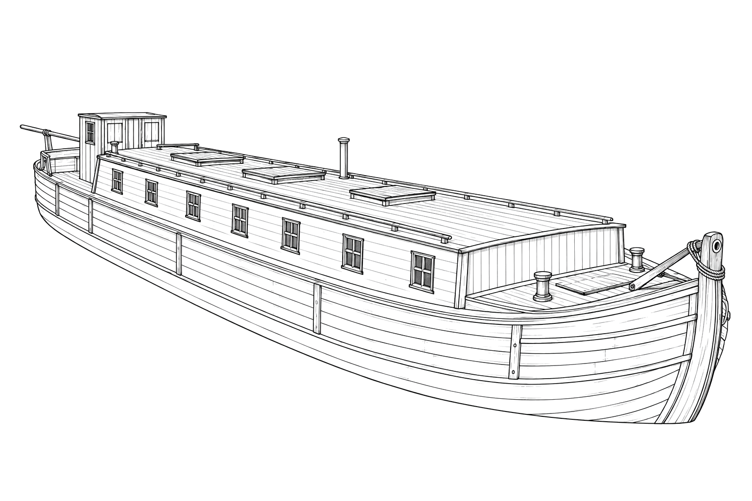
A pre-1862 canal boat carrying quarried stone that broke apart on the lake bottom, opened to divers in 2023 as the preserve system's southernmost site.
Become Captain of RecordSee Shipwreck on Map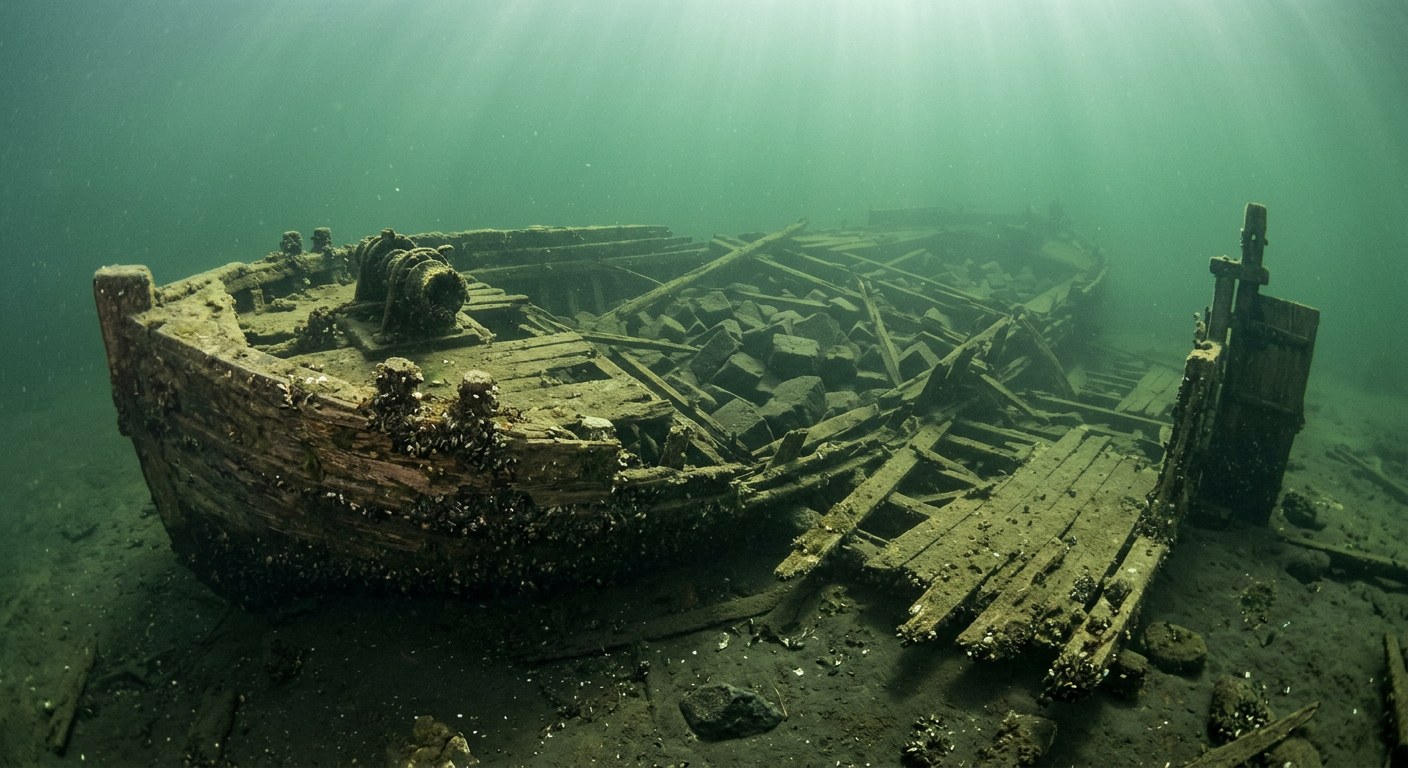
The Vessel and Her Loss
Vessel
- Not established
- Not established
- Not established
- Wood
- 85 ft
- 20 ft
- Not established
- None, towed
- Not established
Loss
- Date and cause of sinking unknown
- Not established
- Southern Lake Champlain, near Pot Ash Point
- Lake Champlain
- Not established
- Quarried stone
- Not established
- Not established
- Not established
The Wreck Today
- 35 ft
- Bow intact; sides torn away and lying flat on the bottom; deck collapsed onto the final cargo of quarried stone; stern more intact with rudder post and barn-door rudder visible.
- Not established
- Not established
- Vermont Underwater Historic Preserve (Lake Champlain)
Position
- 44.12° N 73.38° W
- General area only
- Pot Ash Point, Lake Champlain
General area only: coordinate of Potash (Pot Ash) Point from the USGS Geographic Names Information System, marking the named place of loss recorded for this vessel, not a surveyed wreck position.
Evidence
Overall confidence: Sparsely documented (50/100)
The vessel's name, year built, and the date and cause of her sinking are not established in the sources reviewed.
Lake Champlain Maritime Museum
Dimensions, condition, cargo, depth, diving level.
USGS Geographic Names Information System — Potash Point, VT
coordinate of the named place of loss























































