
North America
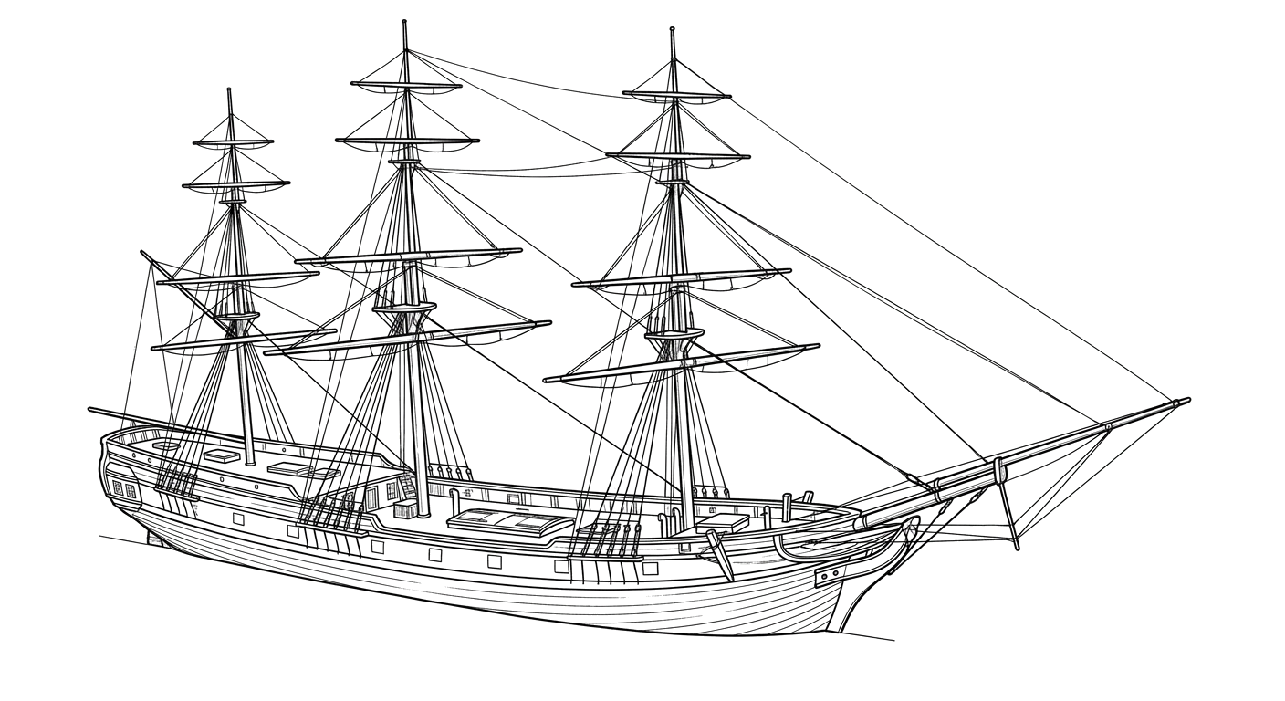
Ship (Three-Masted, Square-Rigged) · United States · Lost 1842 · The Florida Keys
A tentatively identified 1842 sailing ship wrecked on Delta Shoals, its hull now capped by a ballast mound that recent looting has begun to expose.
Become Captain of RecordSee Shipwreck on Map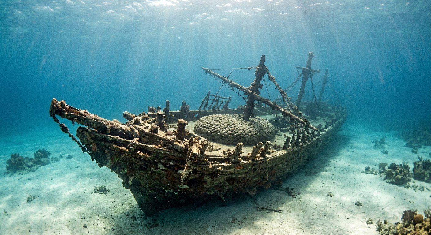
The Vessel and Her Loss
Vessel
- 1833
- Not established
- Bath, Maine
- Wood
- 130 ft
- 29 ft
- Not established
- Sail
- James B. Hall (New York) and George S. Hall (Bath, Maine)
Loss
- November 25, 1842
- Grounding
- Delta Shoals, near Sombrero Key, Florida Keys
- Straits of Florida
- New York → Mobile, Alabama
- Dry goods and furniture
- Not established
- No loss of life is recorded; Captain Hall and crew were assisted ashore by local wreckers.
- Captain Hall
The Wreck Today
- 14 ft
- Lower wooden hull capped by a large oval stone ballast pile, about 112 feet long and 35 feet wide; hull timbers protrude at the site's southwest end.
- Not established
- Not established
- Florida Keys National Marine Sanctuary Shipwreck Trail; also protected under Florida state submerged lands law.
Position
- 24.63° N 81.11° W
- General area only
- Marathon / Sombrero Key, Florida
General area only: coordinate of Sombrero Key from the USGS Geographic Names Information System, marking the named place of loss recorded for this vessel (near Sombrero Key/Delta Shoals), not a surveyed wreck position.
Evidence
Overall confidence: Partially documented (55/100)
The identification as North America is not certain; NOAA describes it as the most likely candidate among several vessels of that name registered in the period.
NOAA Florida Keys National Marine Sanctuary Shipwreck Trail
Loss narrative, dimensions, tentative identification, wreck condition.
Florida Keys Free Press / KONK Life reporting on site looting
Recent site condition and location description.
USGS Geographic Names Information System — Sombrero Key, Florida
coordinate of the named place of loss























































