
M.F. Merrick
Schooner · Lost 1889 · Thunder Bay & Lake Huron
M.F. Merrick — Struck in the side by R.P. Ranney in dense fog and sank rapidly.
Become Captain of RecordSee Shipwreck on Map
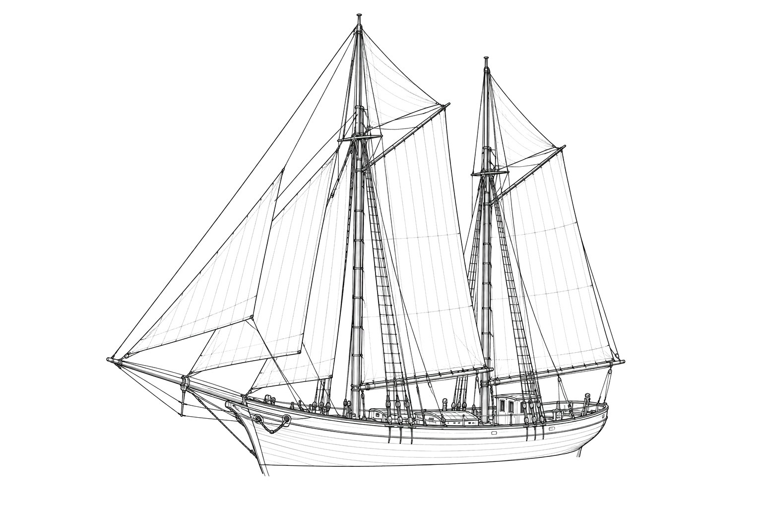
The Vessel and Her Loss
M.F. Merrick was launched at Clayton, New York, in 1863 by John Oades. Carrying furnace sand, it was struck by R.P. Ranney in dense fog on May 17, 1889. Five crewmen died and two were rescued. The upright wreck was discovered in 2011.
Vessel
- 1863
- John Oades
- Clayton, New York
- Not established
- Not established
- 26 ft
- 295 gross tons
- Sail
- Not established
Loss
- May 17, 1889
- Collision
- Off Presque Isle, Michigan
- Lake Huron
- Port Austin, Michigan
- Furnace sand
- Not established
- 5
- Not established
The Wreck Today
- 310–321
- Preserved hull with wheel and sand cargo remaining; rigging has fallen.
- Upright
- 2011
- Within Thunder Bay National Marine Sanctuary
Position
- 45.470° N 83.446° W
- Surveyed position
- Presque Isle, Michigan
NOAA published GPS: N45°28.22457' W83°26.77704'. Converted to decimal degrees; represents wreck position, including relocation where documented.
Evidence
Overall confidence: Well documented (90/100)
Ownership, unverified configuration details, original vessel length remain unknown. Illustrations are interpretive reconstructions. NOAA gives differing depths of 310 and 321 feet.
NOAA Thunder Bay National Marine Sanctuary — M.F. Merrick
Construction, vessel type, beam, gross tonnage, dated loss, cargo, published GPS, depth and historical account. Explicit casualty outcome and rescue details.























































