
Mary M. Scott
Canal Schooner · Lost 1870 · Whitefish Point & Eastern Lake Superior
The canal schooner Mary M. Scott went ashore near Munising's Sand Point in November 1870 with iron ore from Marquette; her bottom lies in shifting sand.
Become Captain of Record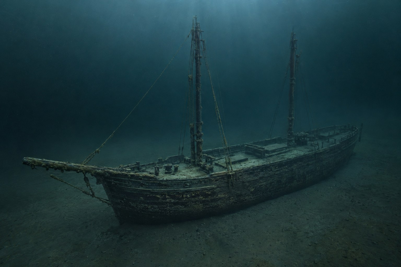
The Vessel and Her Loss
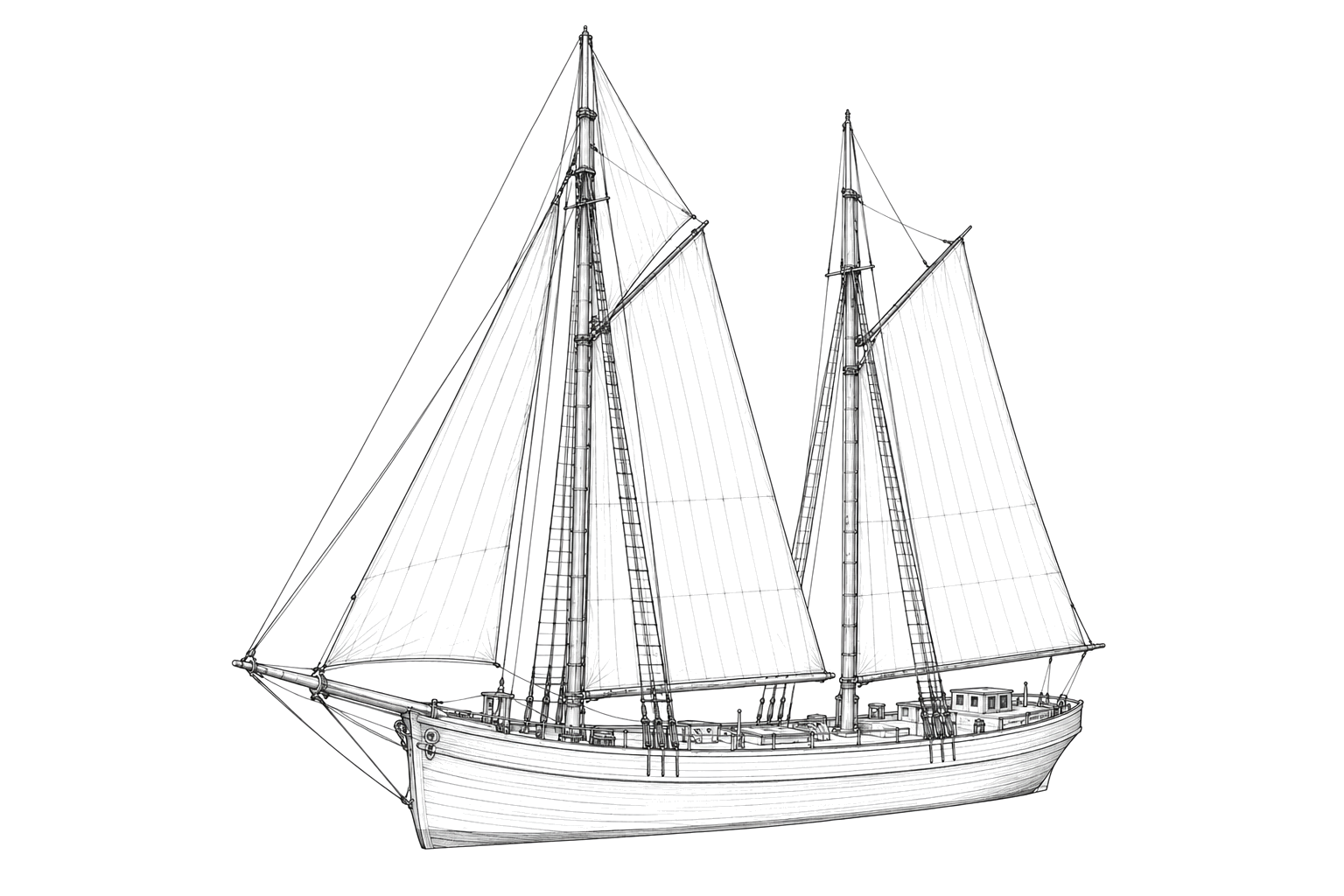
Named for the wife of one of her owners, the 138-foot canal schooner Mary M. Scott was laden with iron ore from Marquette when she went ashore on November 2, 1870, near Sand Point at Munising. Her bottom, about 100 feet of it, lies in 15 feet of water amid constantly shifting sand. Locally she is also known as the Sandpiper.
Vessel
- Not established
- Not established
- Not established
- Wood
- 138 ft
- Not established
- Not established
- Sail
- Not established
Loss
- November 2, 1870
- Grounding
- About 500 feet off the Sand Point channel buoy, Munising
- Lake Superior
- Not established
- Iron ore
- Not established
- The guide does not report loss of life.
- Not established
The Wreck Today
- Not established
- Not established
- Not established
- Not established
- Alger Underwater Preserve (State of Michigan)
Position
- Not established
- Position not established
- Munising, Michigan
No pin: positions in the park guide are incomplete or inconsistent.
Evidence
Overall confidence: Partially documented (70/100)
Based on the National Park Service's Pictured Rocks shipwreck guide; original period records were not independently inspected.
National Park Service — Shipwrecks of Pictured Rocks
Full park shipwreck guide read.























































