
Glenesslin
Sailing Ship · United Kingdom · Lost 1913 · The Columbia River Bar & Oregon Coast
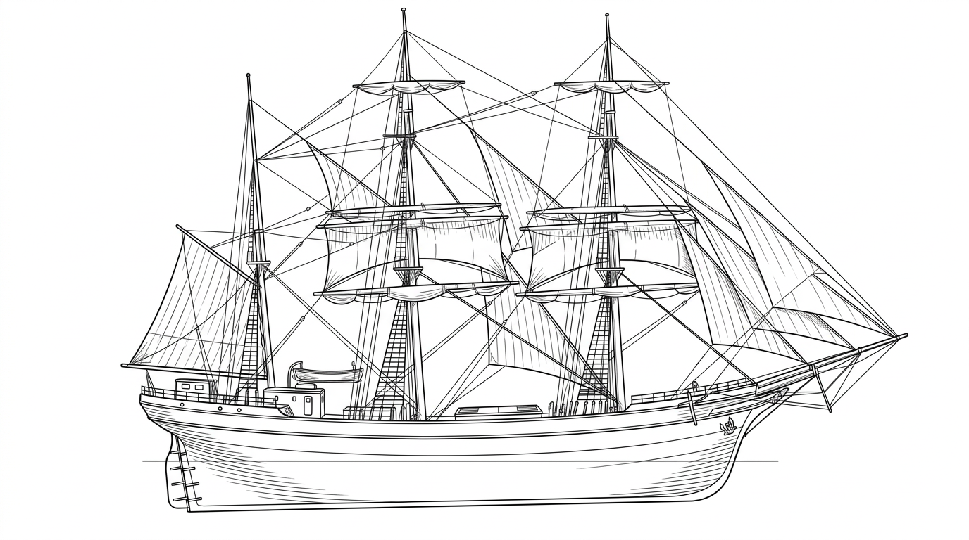
This British square-rigger ran straight into an Oregon mountainside on a calm, clear day in 1913, and no one ever fully explained why.
Become Captain of RecordSee Shipwreck on Map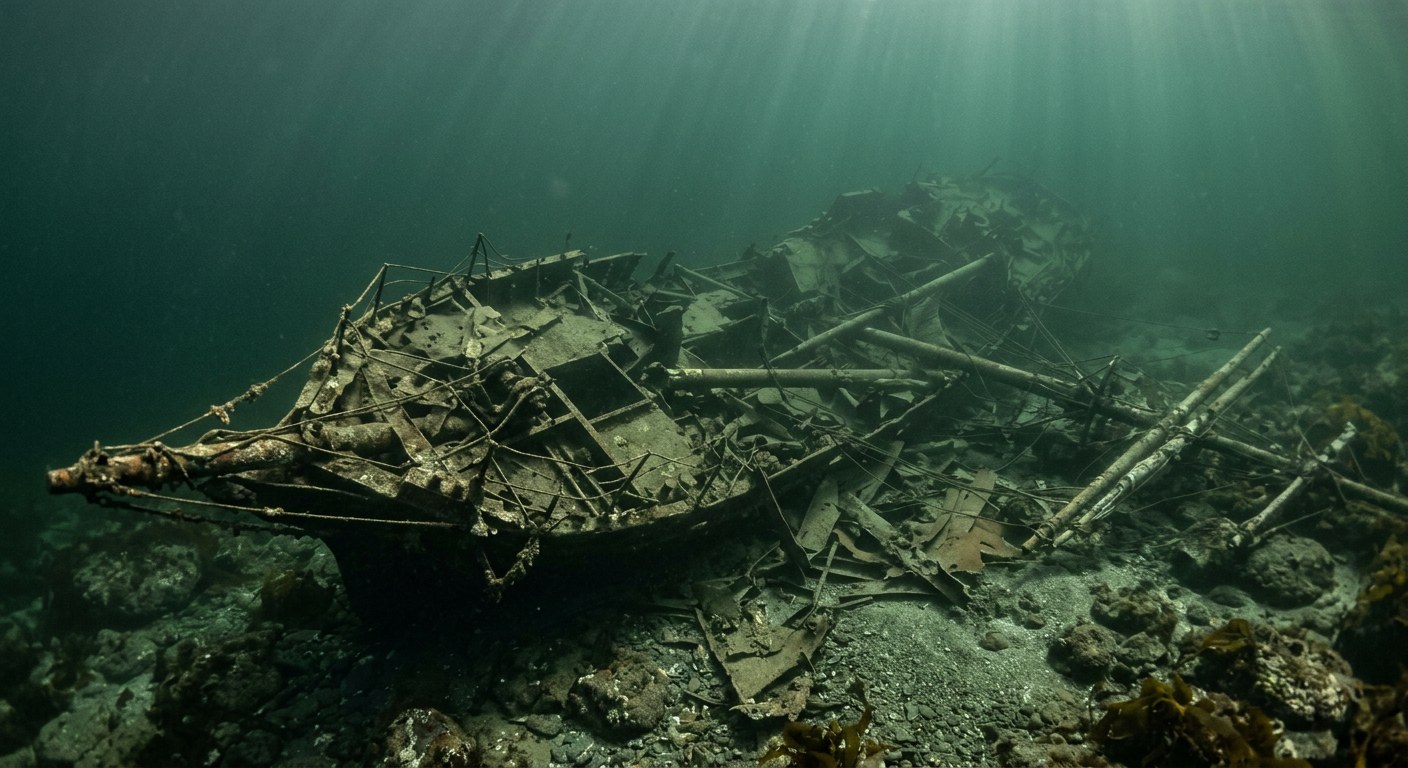
The Vessel and Her Loss
Vessel
- Not established
- Not established
- Not established
- Steel
- Not established
- Not established
- Not established
- Sail
- Not established
Loss
- October 1, 1913
- Not established
- Base of Neahkahnie Mountain, near Manzanita, Oregon
- Pacific Ocean
- Not established
- Not established
- Not established
- 0
- Not established
The Wreck Today
- Not established
- Destroyed on the rocks; salvaged and broken up soon after
- Not established
- Not established
- Not established
Position
- 45.75° N 123.95° W
- Approximate position
- Manzanita, Oregon
The Glenesslin ran onto the rocks at the base of Neahkahnie Mountain near Manzanita on Oct 1, 1913, per the Oregon Encyclopedia; coordinates given are Neahkahnie Mountain's charted summit position (nearest published coordinate) as no separate wreck-site fix was found.
Evidence
Overall confidence: Partially documented (68/100)
The precise cause of the grounding was never conclusively established, and vessel dimensions and build year are not confirmed in the sources reviewed.
Oregon Historical Society — Oregon Encyclopedia
Loss date, location, weather conditions, and unresolved investigation.
Contemporary account of the grounding.
Oregon Encyclopedia, The Wreck of the Glenesslin (ship)
loss location
Wikipedia, Neahkahnie Mountain
place coordinates























































