
F.W. Abrams
Tanker · United States · Lost 1942 · The Outer Banks
F.W. Abrams strayed into an Allied defensive minefield off North Carolina in 1942; all thirty-six aboard survived.
Become Captain of RecordSee Shipwreck on Map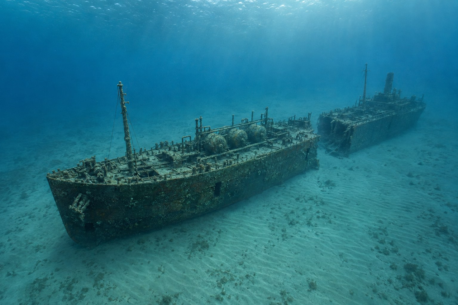
The Vessel and Her Loss
Vessel
- 1920
- New York Shipbuilding Corporation
- Camden, New Jersey
- Steel
- 467.6 ft
- 62.7 ft
- 9,310 gross tons
- Not established
- Grace Line Inc. as Nora (1920–1932); Standard Oil Company, New Jersey, at loss
Loss
- June 15, 1942
- Navigational error
- Off Cape Hatteras, North Carolina, in the wartime defensive minefield area
- Atlantic Ocean
- Aruba → New York City
- About 90,000 barrels of crude oil; statistics give 90,000 and narrative says over 90,000.
- 36
- 0
- Not established
The Wreck Today
- 85 ft
- Two slightly offset sections separated by about 30 feet; little relief after navigational-hazard clearance. Three boilers, exposed machinery and bow structure survive.
- Not established
- Not established
- Not established
Position
- 34.990° N 75.801° W
- Surveyed position
- Ocracoke Island, North Carolina
NOAA publishes this decimal position alongside site plan, side-scan and multibeam survey documentation. Offshore approach-area location, not claimed inside an inlet.
Evidence
Overall confidence: Well documented (94/100)
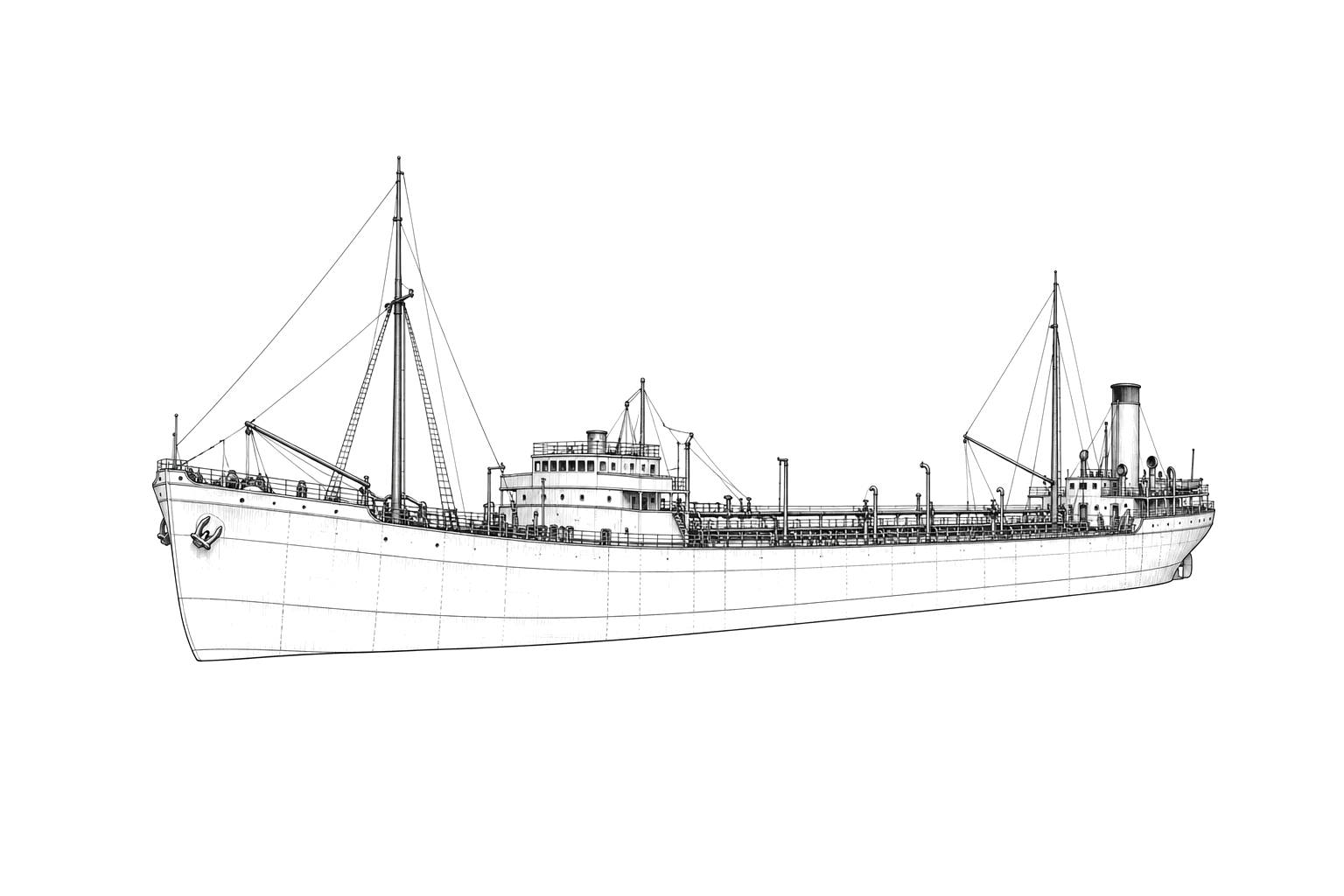
The unarmed merchant tanker was a wartime mine casualty, not a documented naval vessel. Whole-hull imagery is interpretive because the surviving wreck is divided and reduced.
NOAA — Monitor National Marine Sanctuary
1920 construction, Nora former identity, dimensions and machinery, petroleum service; June 11 Allied mine strikes and abandonment distinct from June 15 completed sinking; 36 survivors, one injured, surveyed coordinates, 85-foot depth, divided wreck and subsequent clearance.























































