
Emerald Bay Barge II
Barge · United States · Lost Scuttled after being retired from service, in the early 20th century · Lake Tahoe
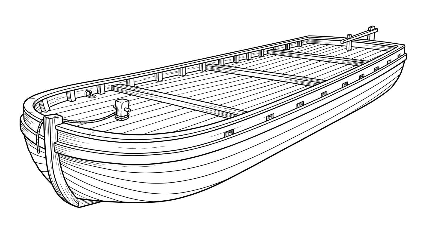
The companion barge to Emerald Bay's Barge I, another retired ponderosa pine cordwood hauler scuttled and now resting nearby as a protected heritage site.
Become Captain of RecordSee Shipwreck on Map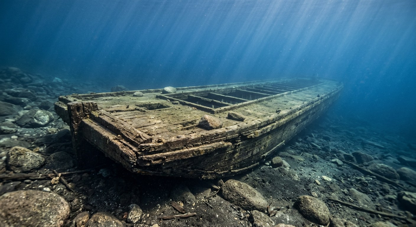
The Vessel and Her Loss
Vessel
- Not established
- Not established
- Not established
- Wood
- Not established
- Not established
- Not established
- None (towed barge)
- Lumber companies operating at Emerald Bay
Loss
- Scuttled after being retired from service, in the early 20th century
- Intentional sinking
- Emerald Bay, Lake Tahoe
- Lake Tahoe
- Not established
- Not established
- Not established
- Not established
- Not established
The Wreck Today
- 40
- Lies roughly parallel to shore, approximately 15 feet south of Barge I.
- Parallel to shore
- Not established
- Protected as part of the Emerald Bay Maritime Heritage Trail, an underwater state park; disturbance or removal of artifacts prohibited by state law.
Position
- 38.96° N 120.09° W
- General area only
- Emerald Bay State Park, California
General area only: coordinate of Emerald Bay from the USGS Geographic Names Information System; Barge II lies immediately alongside Barge I at the same protected dive site, not a surveyed wreck position.
Evidence
Overall confidence: Sparsely documented (45/100)
Her builder, exact construction date, dimensions, and original name are not established in the sources reviewed.
California State Parks (Emerald Bay Maritime Heritage Trail Dive Information)
Existence, relative position to Barge I, use, and protected status.
USGS Geographic Names Information System — Emerald Bay, El Dorado County, California
coordinate of the named place of loss (Emerald Bay)























































