
Diamond Island Stone Boat
Canal Boat · United States · Lost Exact date unknown; 19th century · Lake Champlain
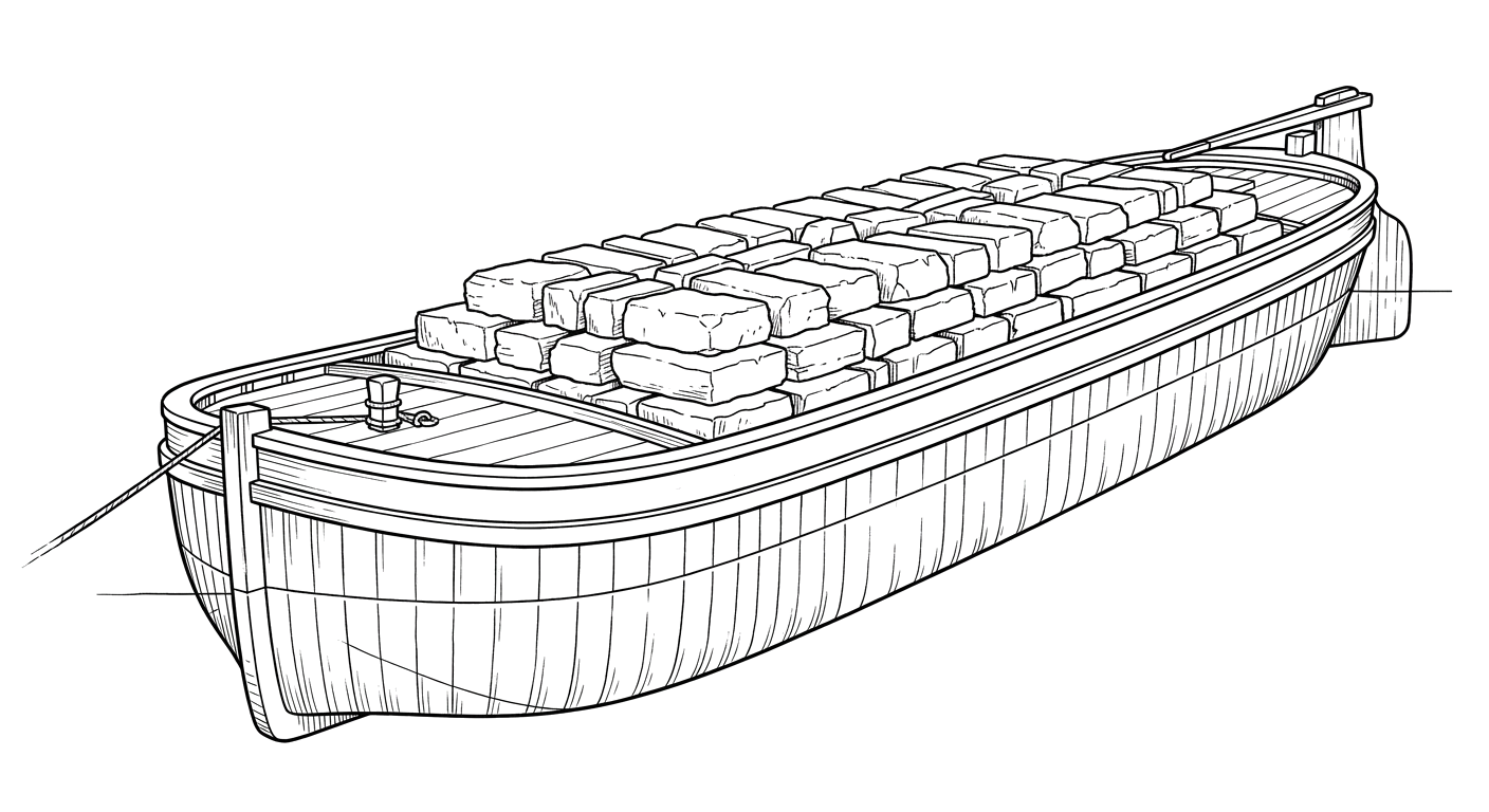
A stone-laden canal boat that broke apart on the rocky shore of Diamond Island, now a shallow, beginner-friendly preserve dive.
Become Captain of RecordSee Shipwreck on Map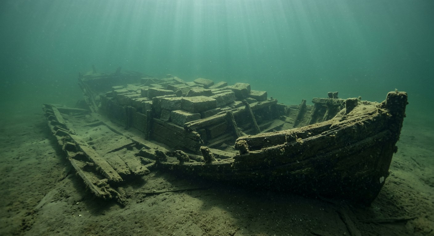
The Vessel and Her Loss
Vessel
- Not established
- Not established
- Not established
- Wood
- 93 ft
- 14 ft
- Not established
- None, towed
- Not established
Loss
- Exact date unknown; 19th century
- Not established
- Off Diamond Island, Lake Champlain
- Lake Champlain
- Not established
- Quarried stone, filling the hold stem to stern
- Not established
- Not established
- Not established
The Wreck Today
- 12-20
- Sides broken down by decay and winter ice and now lie flat on either side of the hull; stone cargo still stacked over the frames.
- Not established
- Not established
- Vermont Underwater Historic Preserve (Lake Champlain), managed by Lake Champlain Maritime Museum for the Vermont Division for Historic Preservation
Position
- 44.23° N 73.33° W
- Reported, unconfirmed
- Diamond Island, Lake Champlain
Dive-resource listings (UnderwaterUSA.com dive chart and Shipwreck World GPS map) both place this Vermont Underwater Historic Preserve wreck just southeast of Diamond Island in Lake Champlain at approximately 44°14.1'N 73°20.0'W; these are hobbyist/dive-charter coordinates rather than a museum-published GPS position.
Evidence
Overall confidence: Partially documented (55/100)
The vessel's name, builder, owner, and the exact date and circumstances of her sinking are not established in the sources reviewed.
Lake Champlain Maritime Museum
Dimensions, condition, cargo, depth, diving information.
UnderwaterUSA.com Lake Champlain dive chart
wreck position
Shipwreck World - Stone canal boat GPS map
wreck position
Lake Champlain Maritime Museum - Diamond Island Stone Boat
identification of wreck as a Vermont Underwater Historic Preserve site near Diamond Island























































