
Constance
Blockade Runner · Confederate States of America · Lost 1864 · The Georgia & South Carolina Coast
A Clyde-built blockade runner that sank while trying to slip into Charleston Harbor, reported fully submerged by a Union blockade vessel.
Become Captain of RecordSee Shipwreck on Map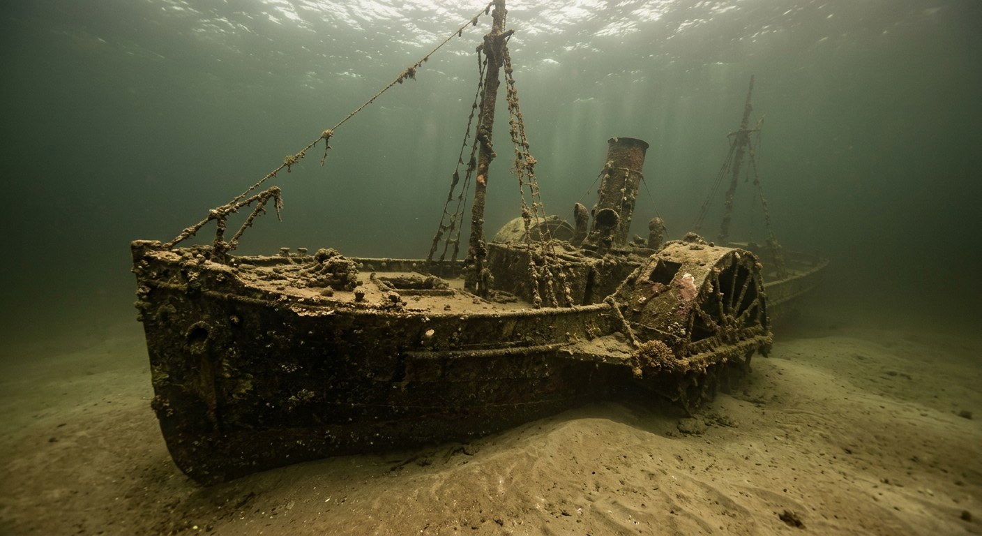
The Vessel and Her Loss
Vessel
- Not established
- Not established
- Not established
- Iron
- Not established
- Not established
- Not established
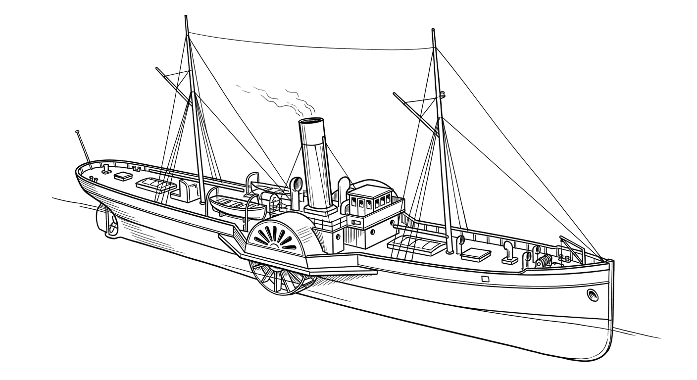
- Steam, side paddle wheels
- Not established
Loss
- October 6, 1864
- Grounding
- Near Long Island (present-day Isle of Palms), Charleston Harbor, South Carolina
- Charleston Harbor approaches
- Nassau or Bermuda (likely) → Charleston, South Carolina
- Not established
- Not established
- Not established
- Not established
The Wreck Today
- Not established
- Submerged near-shore wreck, subject of modern beach-erosion mitigation planning
- Not established
- 1960s
- Within a beach-renourishment buffer zone near Isle of Palms
Position
- 32.79° N 79.79° W
- General area only
- Isle of Palms, South Carolina
General area only: coordinate of Isle of Palms, the present-day named place corresponding to the historic Long Island named in the loss record, from the USGS Geographic Names Information System, not a surveyed wreck position.
Evidence
Overall confidence: Documented (80/100)
The vessel's builder, tonnage, and cargo at the time of loss are not established in the sources reviewed.
Running the Blockade: A Civil War Naval Blog
Contemporary Union report of the wreck.
South Carolina Institute of Archaeology and Anthropology
Confirmation of wreck location near the Georgiana site.























































