
Biscaye
Sailing Ship · France · Lost 1902 · The Lesser Antilles
A French codfish-trading schooner destroyed at anchor in Saint-Pierre during the catastrophic 1902 eruption of Mount Pelée.
Darrell M Ashworth
See Shipwreck on Map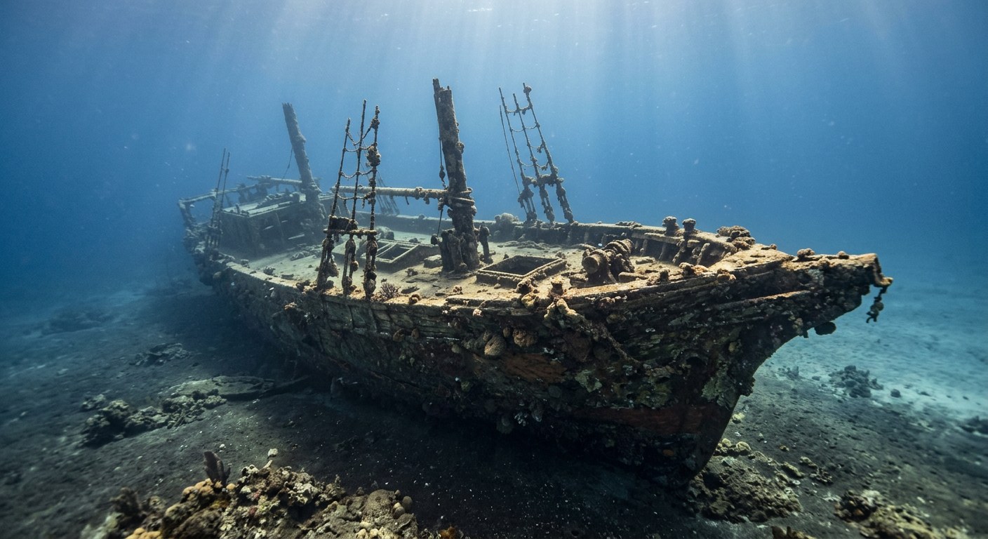
The Vessel and Her Loss
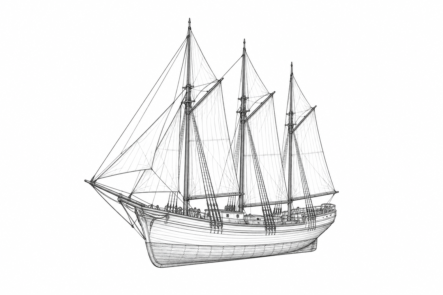
Biscaye was a three-masted schooner built in Bilbao and used to carry salt cod between Martinique and the Newfoundland fishing grounds. She was anchored close to shore in Saint-Pierre harbour when Mount Pelée erupted on 8 May 1902, destroying the town and its fleet. Archaeologists identified her wreck decades later by recovering barrels of salt cod from the site.
Vessel
- 1878
- Not established
- Bilbao, Spain
- Wood, copper-sheathed hull
- 104 ft
- 21 ft
- 159
- Sail
- Not established
Loss
- May 8, 1902
- Not established
- Saint-Pierre harbour, Martinique
- Caribbean Sea
- Newfoundland fishing grounds (Saint-Pierre and Miquelon) → Martinique
- Salt cod in barrels
- Not established
- Casualty figures specific to this vessel are not established in the sources reviewed.
- Jules Trevilly
The Wreck Today
- 95-128
- Hull largely preserved by copper sheathing, partly buried in mud
- Not established
- 1970s
- Declared to French cultural heritage authorities (DRAC) in 1977
Position
- 14.75° N 61.18° W
- Approximate position
- Saint-Pierre, Martinique
Rounded position within the bay of Saint-Pierre, close to shore.
Evidence
Overall confidence: Partially documented (65/100)
Casualty figures specific to this vessel and the precise mechanism of her destruction are not established in the sources reviewed.
Groupe de Recherche Archéologique Navale (GRAN)
Construction, captain, cargo identification, and wreck depth.
HAL Open Science Archive (Guibert, Guérout, Serra)
Underwater archaeological context of Saint-Pierre wrecks.























































